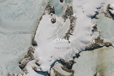
Vega Island’s bare ice shows why the season of a satellite image matters
NASA’s two views reveal a striking surface difference, but they are not a same-season annual comparison.
NASA’s two views reveal a striking surface difference, but they are not a same-season annual comparison.
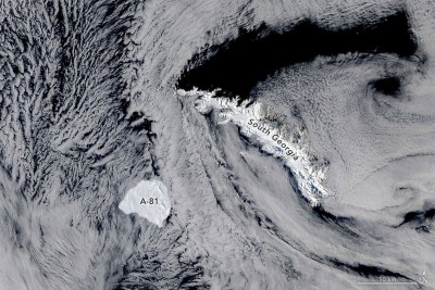
A new satellite account follows the berg’s route from the Brunt Ice Shelf. Slower movement is not yet proof of permanent grounding.
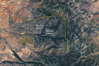
The July image, published this week, reveals rock and vegetation patterns rather than individual pinnacles. Chiricahua’s protection began a century ago.
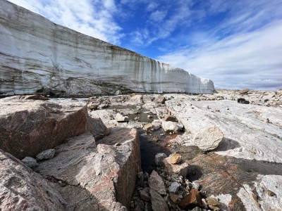
Dating preserved vegetation helps reconstruct two millennia of ice expansion and its retreat. The finding does not make warming a benefit.
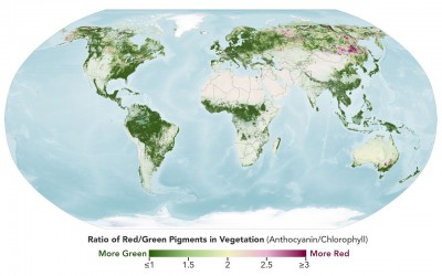
NASA’s hyperspectral maps distinguish a pigment ratio from an ordinary photograph. Ground observations help explain what the signal means.
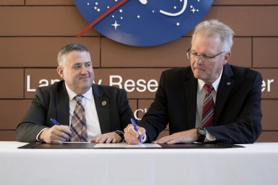
A Virginia partnership connects Earth observations with planning. Cooling-degree maps are useful evidence, but they are not a forecast of an electricity bill.
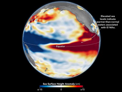
Satellite sea-height measurements reveal a striking similarity across decades. They are evidence of ocean conditions, not a local winter forecast.
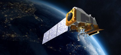
NOAA plans a December descent for the weather satellite. Its retirement shows why an end-of-life maneuver belongs in the mission design.
A newly published report explains wavelength steering and forest measurements from a 2024 flight. A space-ready instrument remains future work.