NASA’s POWER data links weather to the decisions behind an energy system
A Virginia partnership connects Earth observations with planning. Cooling-degree maps are useful evidence, but they are not a forecast of an electricity bill.
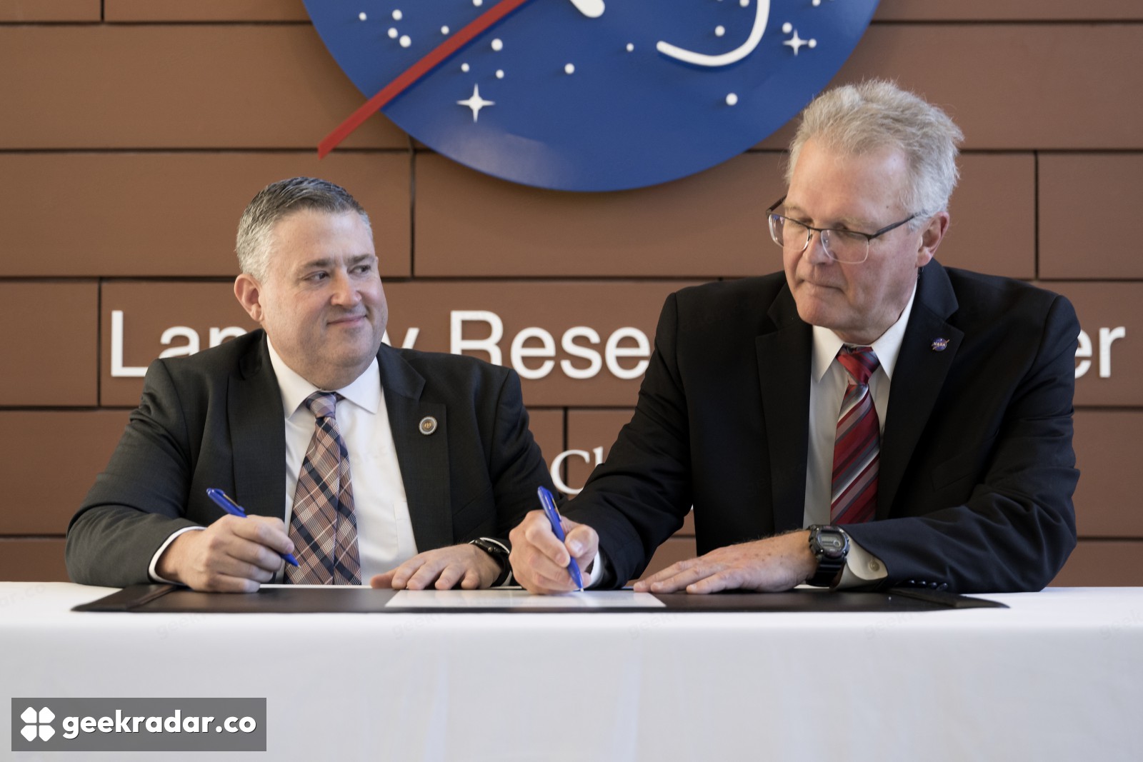
NASA’s new energy partnership with Virginia is about making atmospheric data usable inside planning tools. Under an agreement announced on October 23, Langley Research Center will provide solar, meteorological and future weather-risk information to the state’s Department of Energy. The intended result is better analysis of how electricity supply and demand behave under changing weather conditions.
The agreement’s description puts an unusually practical task at its center: connecting NASA’s POWER platform to the models planners already use, adjusting formats and identifying additional data needs. A dataset can be scientifically valuable and still be difficult to use in a decision if its units, time scale or delivery format do not fit the receiving system.
Photo: NASA / Mark Knopp.
Weather affects both sides of the electricity system
Hot weather can increase cooling demand while also changing the conditions under which generation and infrastructure operate. Solar resources vary by place and time. A planning model needs to consider those relationships together, rather than treat demand and supply as unrelated annual totals.
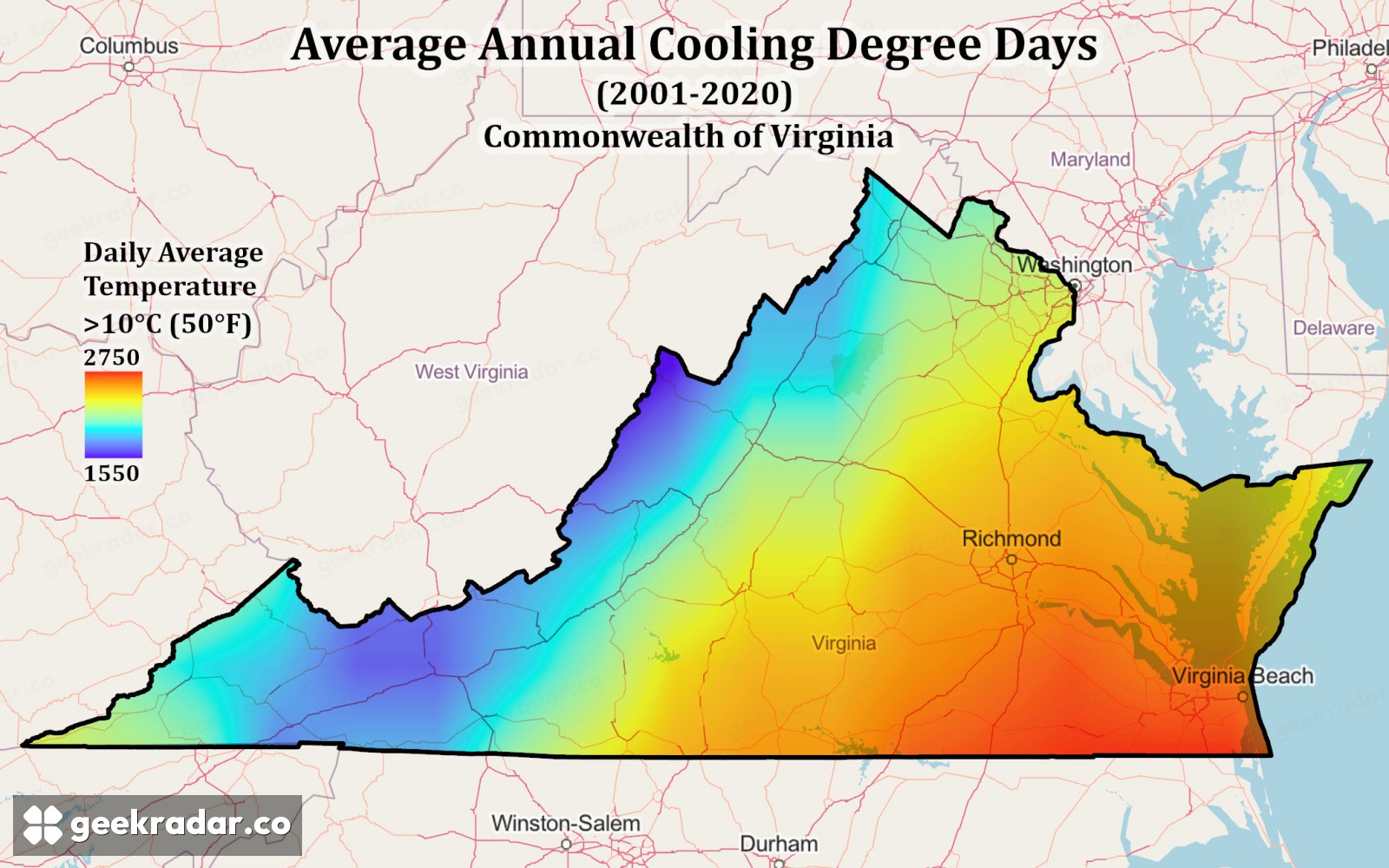
NASA illustrates the partnership with a Virginia map of cooling degree days, averaged over 2001–2020 and calculated against a 10°C threshold. This is an accumulated temperature-based indicator. It is not a map of electricity bills, a prediction of a particular heatwave or a claim that every building starts cooling at that exact temperature.
The baseline matters. Change the reference temperature or averaging period and the values can change. A colorful map becomes useful evidence only when the reader knows what the colors represent. Keeping the period and threshold attached to the image prevents a historical indicator from being mistaken for today’s conditions.
A US partnership built on globally relevant data
The POWER methodology describes global solar and meteorological products drawn from satellite observations and models. Their reach is broader than this Virginia agreement. Italian researchers, energy analysts and developers can therefore have an interest in the underlying resource even though the new institutional partnership is American.
Global coverage does not eliminate local limits. A model grid is not a measurement of the shade on one roof, and an estimate of available sunlight is not a guaranteed output from a particular installation. Local terrain, equipment and the question being asked determine how the data should be used.
The partnership’s data pipeline is important for another reason: repeatability. If an analyst can retrieve a documented parameter consistently, it becomes easier to compare scenarios without quietly changing the inputs. That is less visible than a new satellite image but often more important to the decision the image is meant to support.
Our coverage of flexible electricity demand looked at shifting consumption when the grid needs it. This story sits earlier in the chain: understanding where demand and weather-related pressure may arise before deciding what flexibility or infrastructure is useful.
NASA has not announced a new power plant or a guaranteed reduction in energy costs. It has announced a way to make environmental evidence easier to use. The payoff will come when a planner can explain why a particular system is vulnerable—and show the data behind the choice to strengthen it.