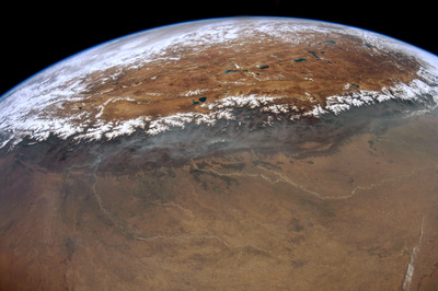
Why Everest disappears in a photo that shows 1,000 kilometres of the Himalayas
Two astronauts used 16 mm and 420 mm lenses on separate passes. A pair of valleys helps locate the summit in the closer view.
Two astronauts used 16 mm and 420 mm lenses on separate passes. A pair of valleys helps locate the summit in the closer view.
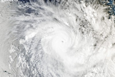
A microwave scan picked out curved rainbands beneath the high clouds. Nine and a half hours later, Aqua caught a tight whi...
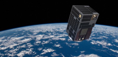
Satellogic will build the first spacecraft for a planned mid-2027 launch. The promise for responders is a say in future ob...
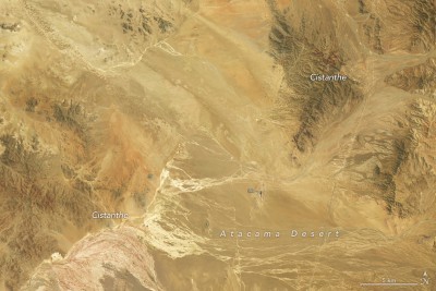
September and October views of the same Chilean hills show different flowers taking their turn. Field observations help explain the change that a satellite index alone would miss.
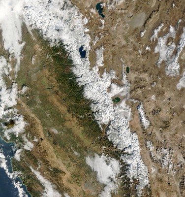
NASA’s Terra satellite caught the ridges around Lake Tahoe before and after a storm. A pressure sensor underneath the snow answers a question those two images leave open.
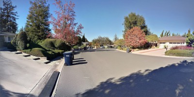
A decade of airborne surveys covers 78.3% of California’s land area. A hillside in Santa Clara County shows how researchers distinguish treetops, roofs and the ground below.
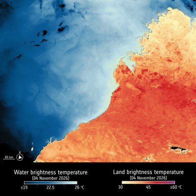
Near Broome, the colour key changes at the waterline. A second view of the same coast shows where fires left scars after the heat passed.
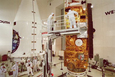
The satellite’s retirement ends nearly 27 years of observations. The shutdown timetable, changing orbit and surviving archive have different implications for data users.
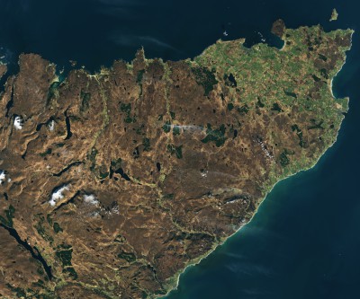
An older Landsat image explains a much longer process: water slows decomposition, allowing peat to accumulate beneath the surface.