NASA’s Terra stops collecting Earth data on December 1. Its archive will stay open
The satellite’s retirement ends nearly 27 years of observations. The shutdown timetable, changing orbit and surviving archive have different implications for data users.
NASA’s Terra satellite will stop collecting science data on December 1, ending nearly 27 years of observations of the atmosphere, land and oceans. Its measurements will remain freely available. What disappears is the next observation: another view of a fire, a cloud system or a changing landscape to add to that long record.
The November 17 announcement sets out two separate steps. Science collection ends first; the team will then use the remaining fuel to lower Terra’s orbit before switching off all spacecraft systems in January 2027. That shutdown date is not a predicted date for atmospheric reentry.
The deadline has moved from an estimate to a plan
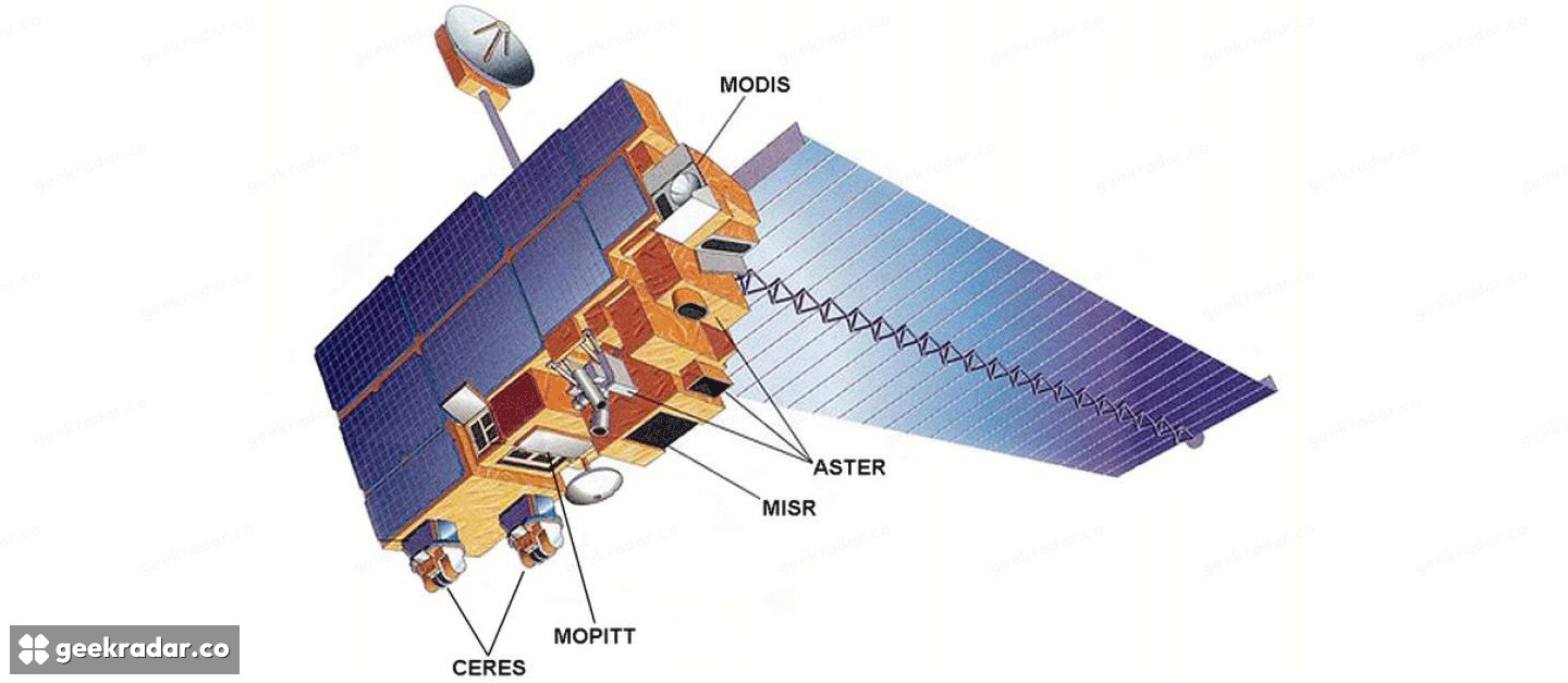
Terra launched on December 18, 1999, with a planned six-year mission. NASA now cites aging systems and a drifting orbit as it prepares to retire the spacecraft. Several parts of its instrument suite have already stopped operating to conserve power, including MOPITT, which measured carbon monoxide, and portions of CERES and ASTER.
Readers checking older mission pages may encounter a different timetable. NASA’s December 2025 retrospective contains an editorial note projecting an end to Terra science in February 2027. The new, dated announcement gives December 1, 2026. The retrospective remains useful for understanding the mission, but its earlier forecast should not be used as the current operational deadline.
Five instruments made a more useful picture of Earth
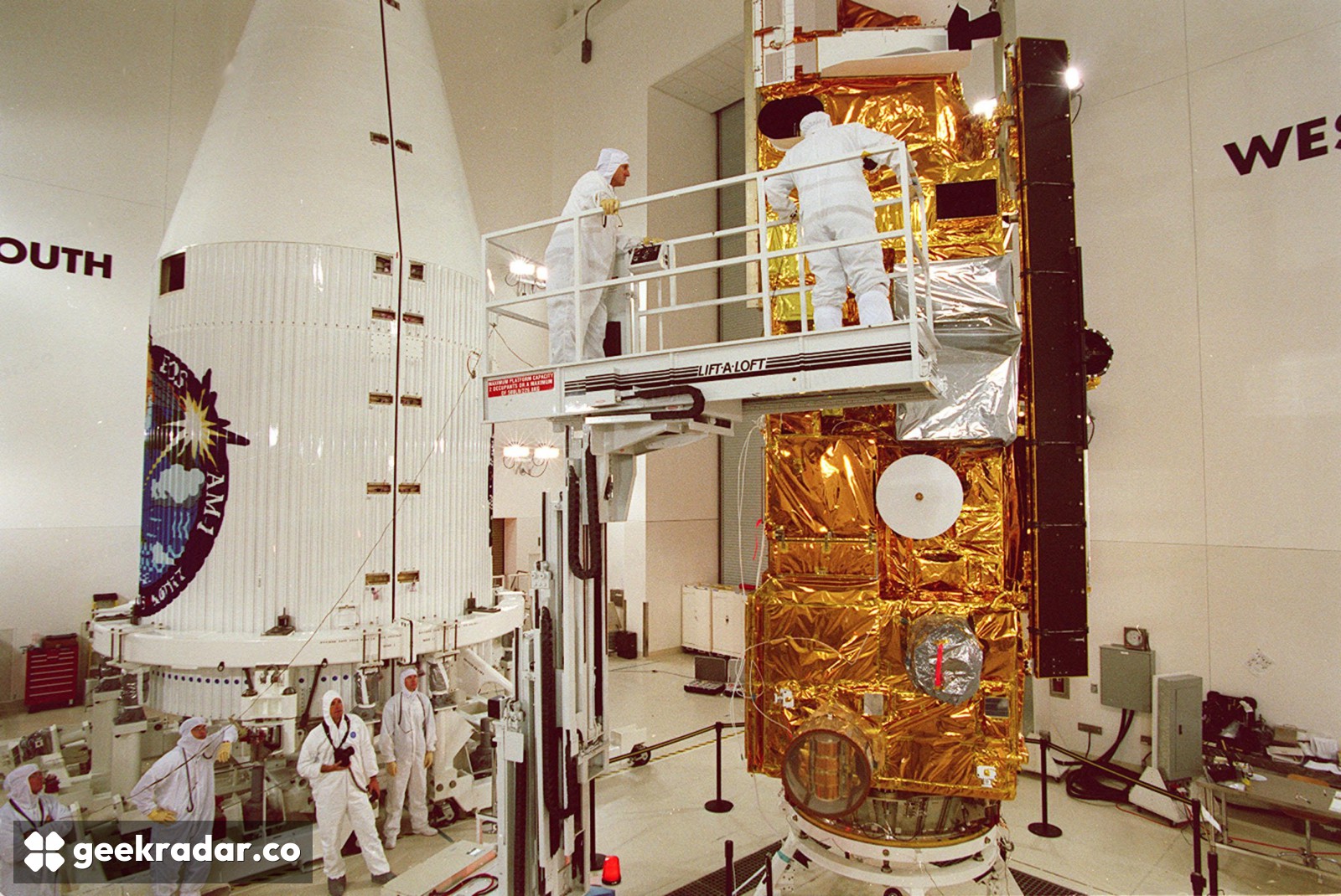
Terra’s value was never confined to attractive images. It carried five complementary instruments, allowing researchers to examine different aspects of the same planet: surface properties, clouds and radiant energy, airborne particles, atmospheric pollution and broad changes across land and water.
Consider MODIS, the Moderate Resolution Imaging Spectroradiometer. NASA’s instrument documentation describes a 2,330-kilometre viewing swath and 36 spectral bands, with global coverage every one to two days. Those bands measure light at different wavelengths. They let scientists extract information that an ordinary colour photograph cannot provide, including cloud properties and signals associated with vegetation and fire.
The useful comparison is between a detailed snapshot and a repeated measurement. A single image can show smoke spreading across a region. Repeated observations help establish how conditions changed, while complementary instruments supply other pieces of the physical explanation. Terra’s long service made that repetition possible across seasons and years, rather than for just one disaster.
That does not mean every instrument remained fully active throughout the mission. The original five-instrument design and the reduced suite approaching shutdown are different things. Treating the diagram as a list of instruments still operating at full capacity would overstate what Terra can collect today.
An earlier morning changes the comparison
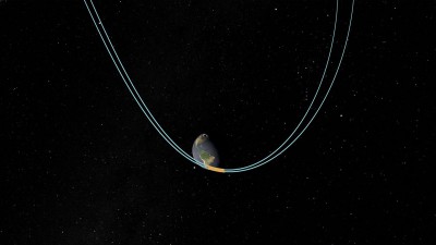
Orbit drift deserves more explanation than simply calling a satellite old. Terra originally maintained an approximately 10:30 a.m. morning equator crossing. NASA’s orbital documentation says it has been drifting toward earlier crossings since February 2020, while continuing to collect high-quality observations.
An earlier observation can sample a different stage of the day. That matters when interpreting quantities that change with sunlight, surface heating or cloud development. The distinction is between a useful measurement and a directly interchangeable one: researchers need to account for the circumstances of collection when comparing records.
The same reading discipline applies to the seasonal context of satellite imagery. A striking difference between two pictures becomes evidence only when the timing and measurement conditions support the comparison. Terra’s age alone does not invalidate its later observations; nor does a familiar instrument name remove the need to check their context.
The archive is staying. Live data users have a different problem
NASA says Terra’s existing data records will remain free and publicly accessible. The mission’s data-access guide directs users to the specialist centres that distribute products from each instrument. These are scientific datasets with their own formats and processing requirements, not simply a gallery of downloadable photographs.
For someone investigating a past wildfire or changes across multiple years, the end of collection does not erase that evidence. For software expecting fresh Terra observations, however, an accessible archive cannot supply tomorrow’s measurement. Any move to another sensor requires checking the specific product, timing, coverage and measurement characteristics rather than assuming a new download address provides an identical record.
Terra leaves an unusually valuable baseline for the next generation of Earth-observation research. Keeping that baseline usable is part of the mission’s legacy. After December 1, its most important contribution may increasingly be helping scientists judge what has changed since the last time it looked.