GTA VI’s Grassrivers changes how you read the landscape
Official images put water, vegetation and boats at the center of the scene. Real wetland context helps explain the contrast with Vice City.
In this guide
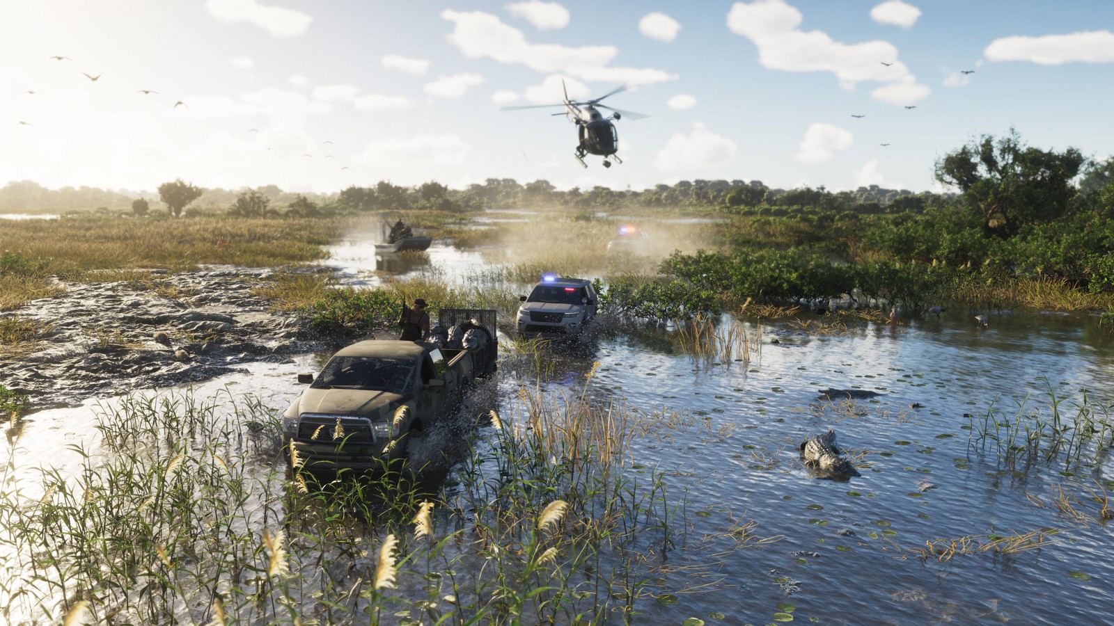
GTA VI's Grassrivers imagery asks players to read a landscape differently from a city street. Water, vegetation, boats and buildings raised above the surface replace the clear curbs and intersections of an urban scene. That shift is already visible in Rockstar's official screenshot collection, without needing a guessed map size or an invented list of wilderness activities.
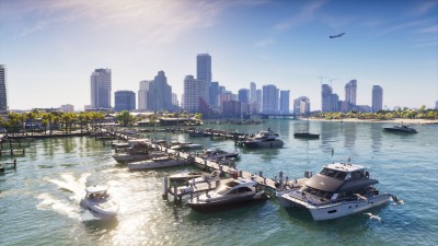
It is one of the more useful contrasts within Grand Theft Auto VI. Vice City's built environment gives the eye obvious lines to follow. A wetland can look open at first glance while containing many overlapping edges: reeds, channels, tree cover and changes in the water surface. The available images establish that visual difference; they do not yet tell us how every route works in play.
Water is part of the structure
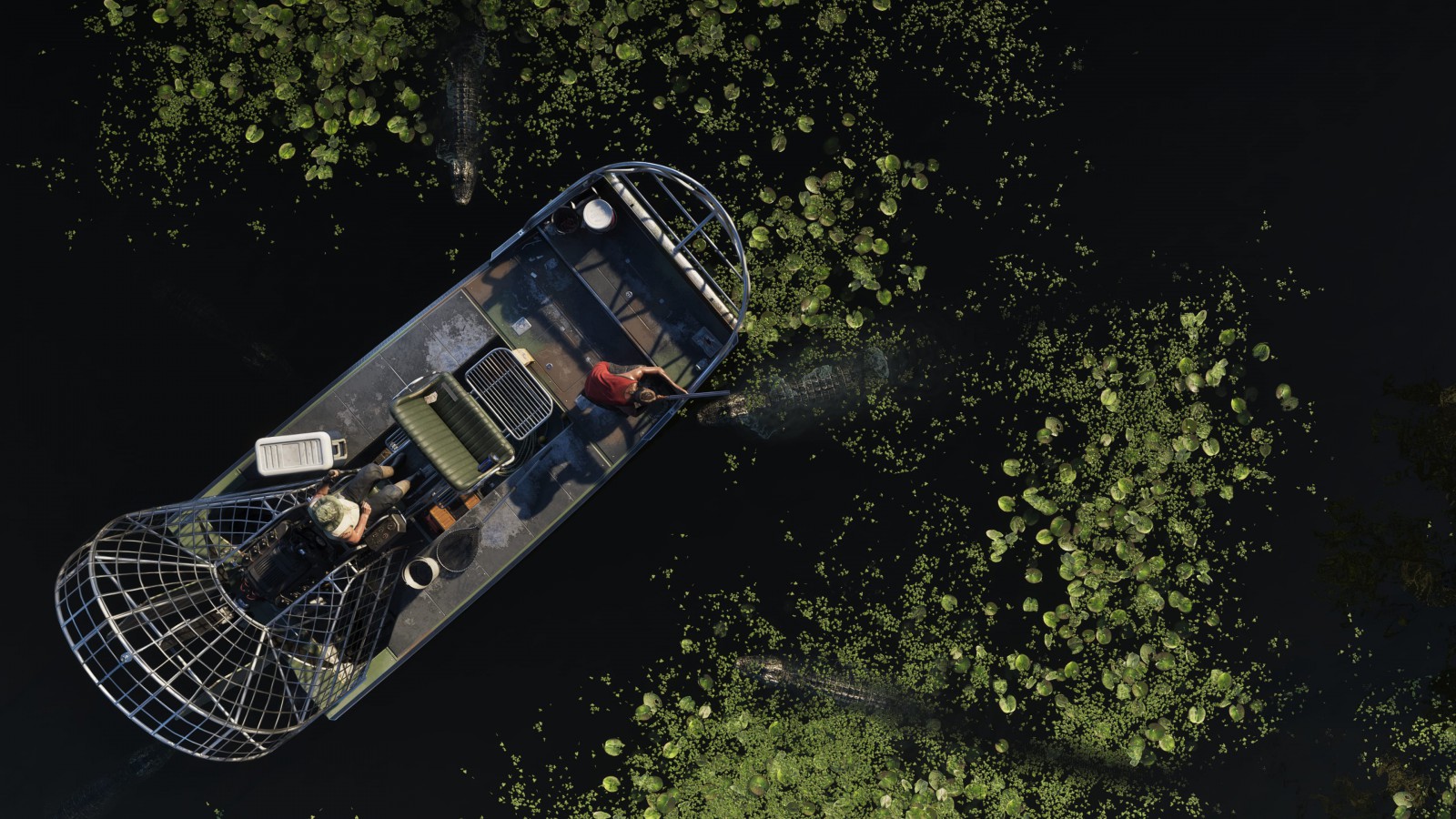
Look at the overhead boat image. The relationship between the vessel, the surrounding water and the vegetation does most of the work of defining the space. There is no need to place a road grid over it to understand that this environment invites a different kind of attention.
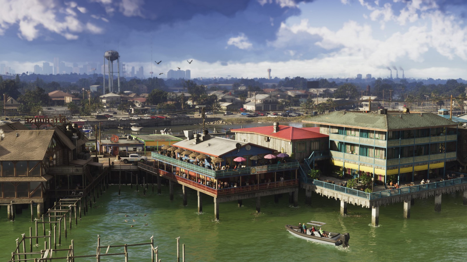
The buildings-on-water view provides another clue. Structures and access routes have to be read in relation to the surface around them. As visual analysis, that is more informative than treating every non-city image as generic countryside. A waterfront settlement, a marsh and a forest can all be outside the main city while presenting very different spatial problems.
Rockstar has grouped these images under Grassrivers. That naming establishes their association with a region, not a surveyed boundary. It does not prove a fan map's compass position, the size of the area or how soon it becomes accessible during the story. Our Leonida regional overview keeps those geographical limits separate from the confirmed names.
The real-world comparison has limits
Florida's wetlands offer useful context for the visual language. The Florida Museum's freshwater-marsh guide describes several kinds of marsh, including broad sawgrass areas with standing water for much of the year. That helps explain why a landscape can appear grass-covered while water remains fundamental to its character.
The museum is describing real ecosystems. It is not documenting Rockstar's game engine, a simulation of seasonal water levels or a licensed recreation of a specific protected area. Using the real-world reference should sharpen observation, not smuggle in features that have not been demonstrated.
A different rhythm without an invented itinerary
The contrast is valuable even before those systems are documented. A dense street distributes attention across traffic, signs and buildings. The wetland images concentrate it around a vessel, a patch of cover or a narrow passage through vegetation. That is a difference in how the scenes are composed, not a claim that we have tested their difficulty or pace.
It also gives the wider state an identity beyond adding more blocks to Vice City. Landscape variety can change what the player notices, rather than merely changing the color of the horizon. The screenshots show enough to make that possibility interesting while leaving the actual routes and encounters for the game.
For a first look, the most revealing question is where your eye finds a path through the image. In Grassrivers, that path often follows the water. A convincing visit to Leonida will need its spaces between the roads to feel as deliberately considered as the roads themselves.